Course Overview & Map
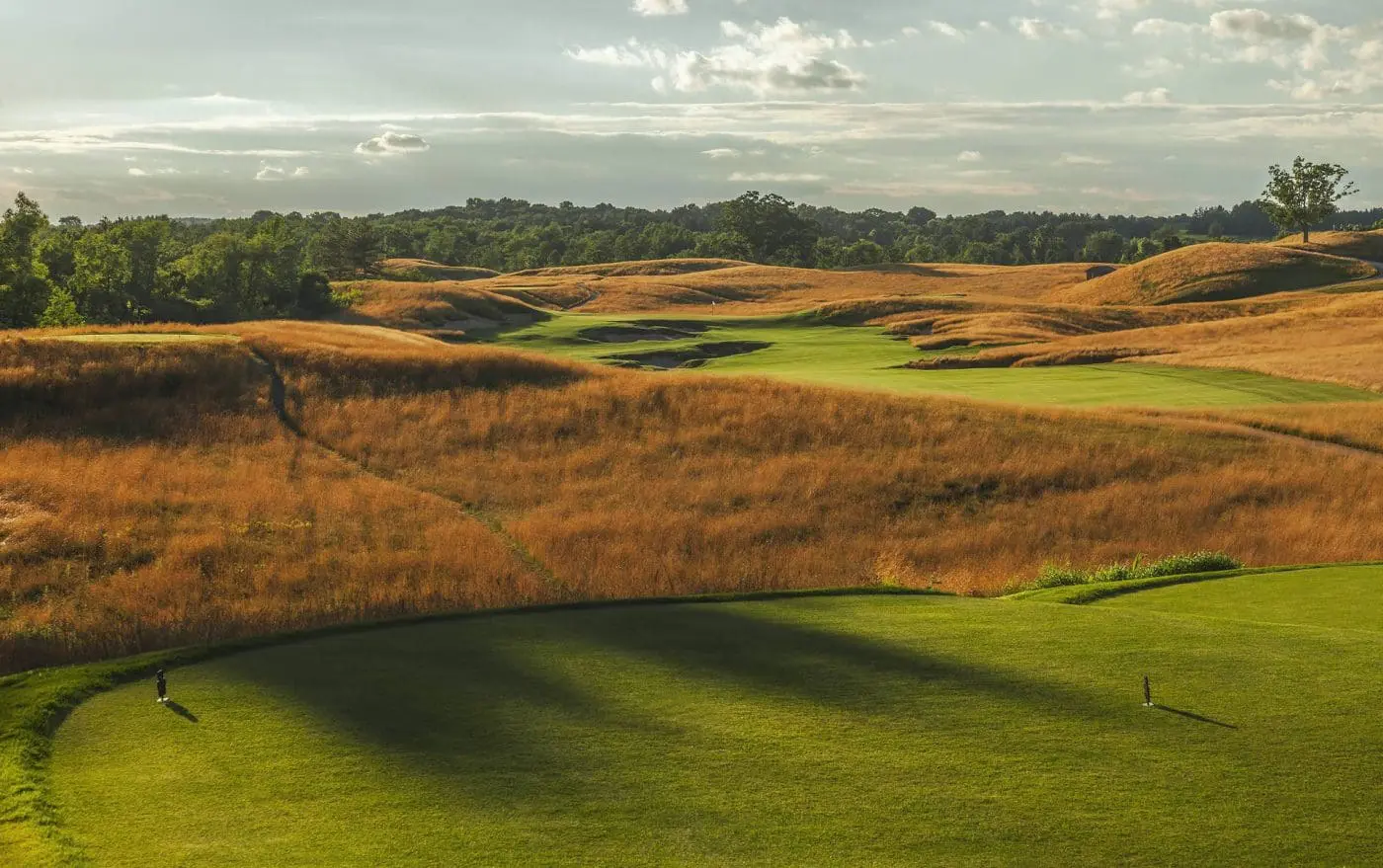
Erin Hills is a course like none other — routed over the kettle moraine areas left by glaciers, surrounded by wetlands and a river, with ground that consists of glacial till of varied composition of sand and small rock. In an unconventional decision for a course in Wisconsin, the architects routed the fairways around contours of the property and provide a firm playing surface that plays shorter than its length on the scorecard.
The course was designed to accommodate the 2017 U.S. Open, in terms of both the challenge to the players and the logistics of the spectators. This mix of traditional and modern elements as well as a championship test will leave many golfers with the feeling that they’ve never played anywhere like Erin Hills.
Golf Course History
Long before golf was played at Erin Hills, the 652 acres of pristine land was host to icy fingers and streams from the last glacier to cover south central Wisconsin. Rivers carved graceful features into the landscape, turning the Kettle Moraine into the diverse region that it is today. Architects adopted a minimalist approach in designing Erin Hills, as nature had sculpted the land so well that the golf holes seemed to emerge from the property. With bentgrass greens and fairways, this walking course is quite literally a change of pace. To make Erin Hills your next destination to play, stay, eat and meet — for business or pleasure, plan your visit now.
Meet the Architects of Erin HillsErin Hills Course Map
Join Our Email Club
Receive the latest updates on Erin Hills news and promotions.